|
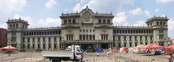
| National Palace at Central Park |
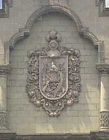 |
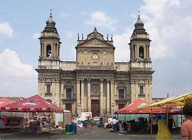 | Crest of Guatemala | National Cathedral |
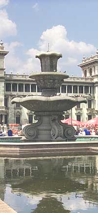
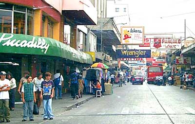
(right) The Fountain in the center of Central Park (below) A Street Scene in Downtown Guatemala City |
 |
 |
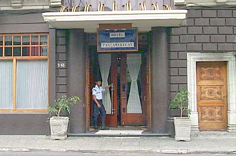 |
(left) Entrance to the Pan American Hotel |
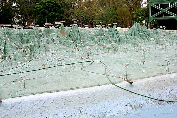
| We went to see the Map-in-Relief in Guatemala City. It is facinating to visit; photographs cannot do it justice. It is "an enormous, three-dimensional, concrete map, built in 1905". The map, which covers 1809 square meters, has a horizontal to vertical scale of 1 to 5, "giving extra emphasis to the country's mountainous features". |
 |
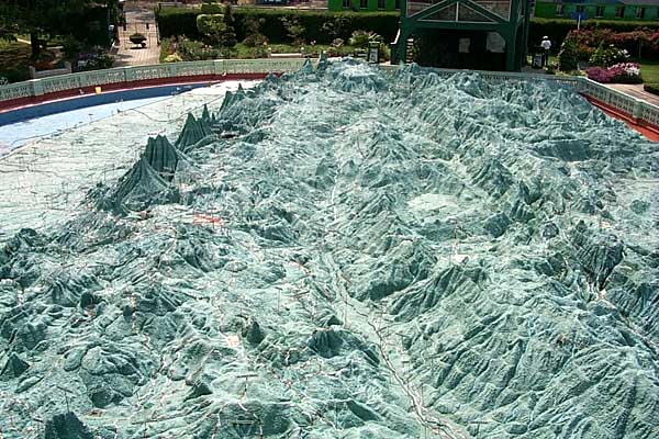
| (above) The Pacific Coast of Guatemala (looking northeast, toward Belize) Quetzaltenango is behind and to the left of the mountain with the brown side, |
| In case you were wondering, what Mother Nature does when the Pacific Ocean gets dirty is to send out a couple of guys with scrub brushes on broom handles and garden hoses. One of their garden hoses can be seen here, snaking across the coastal plane of southern Guatemala. |
| (below) Southern Guatemala (looking west along the principle mountain range) The red-brown spot to the left of center is Guatemala City; in the black shadow, about the same size as the city, but above and slightly right of it, is Lake Atitlán. |
 |